Search any address
Search the address and jump straight to the property with a clear satellite view ready for measuring.
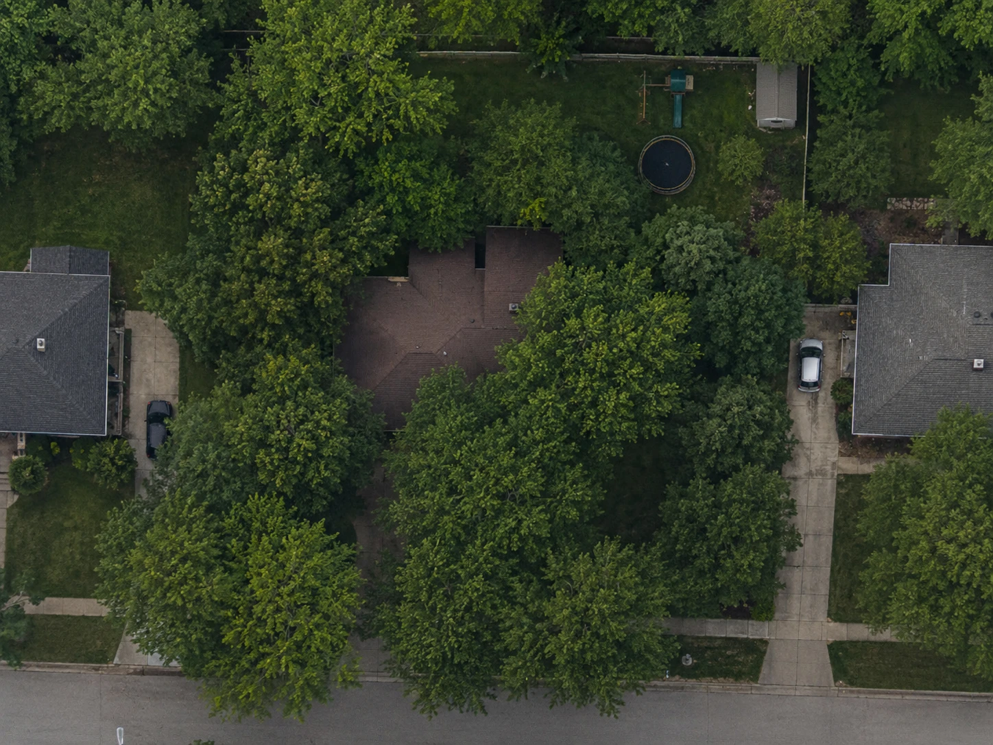
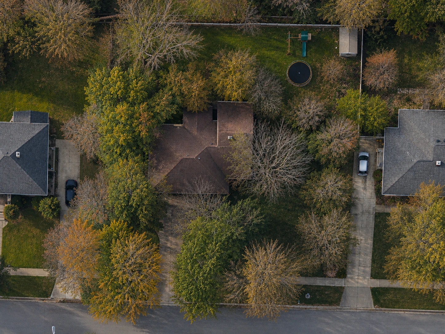
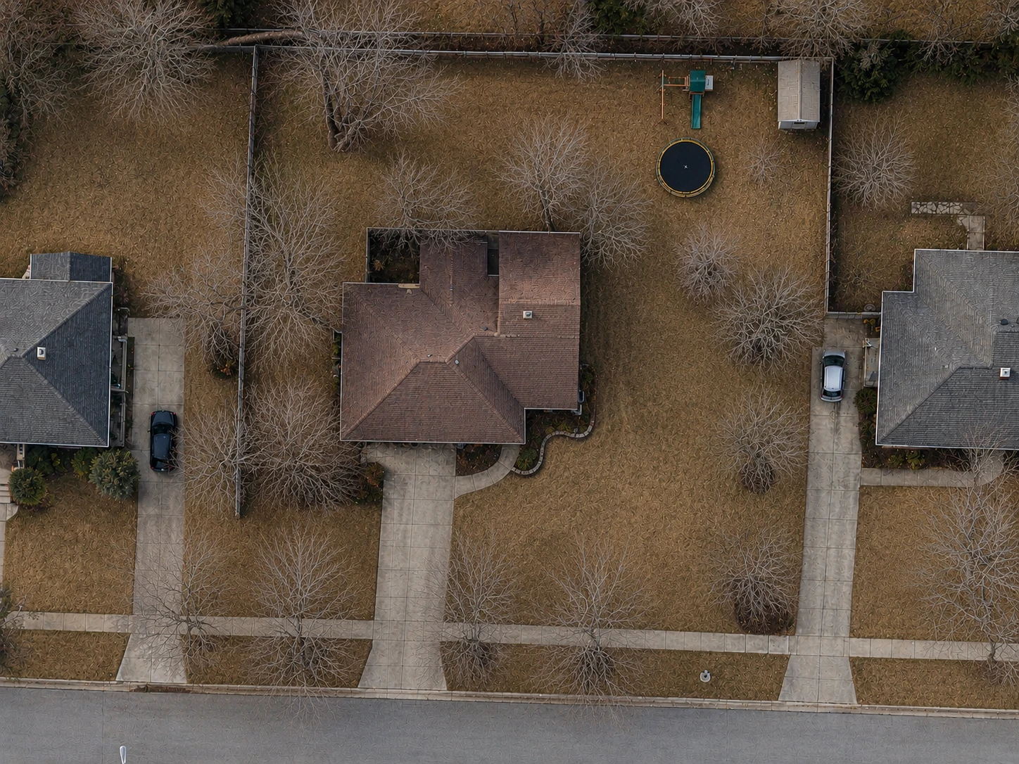
Pick the clearest view
Switch between Apple, Google, and Esri imagery to find the clearest view. Parcel boundaries are on by default, making it easy to see where the property begins and ends.
Draw around the areas you want to measure
Click around the property to trace the areas you want to measure. Create separate areas for lawns, driveways, gardens, parking lots, or anything else.
View your measurements
Every area displays its own measurement along with a combined total. Adjust the boundary at any time and the results update instantly.
Save or share your measurements
Export a clean report, save the property to your library, or share it with anyone using a simple link.
Parcel line overlays are currently available for U.S. properties only. Measuring works anywhere in the world.
FAQ
Common questions
How long does it take to measure a property?
Most properties can be measured in under a minute. Larger or more detailed properties may take a few extra minutes depending on the number of areas you measure.
What if the satellite photo is out of date?
Switch between Apple, Google, and Esri imagery to find the most up-to-date view. Parcel boundaries can also help when property edges aren’t obvious.
Can I adjust an area after I draw it?
Yes. Move points, add new ones, or remove existing ones at any time. Your measurements update instantly as you edit.
Can I use it on my phone?
Yes. FindPropertySize works on desktop and mobile, and you can add it to your home screen for quick access anywhere.